
Drone Recovery, Aerial Mapping, & Land Preparation
WHEN YOU NEED ANSWERS, WE LOOK FROM ABOVE.
NEED EYES IN THE SKY? YOUR SEARCH ENDS HERE.
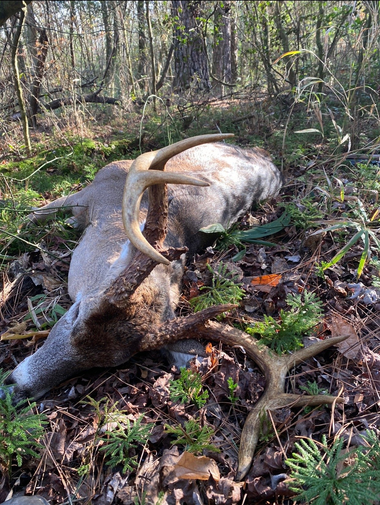
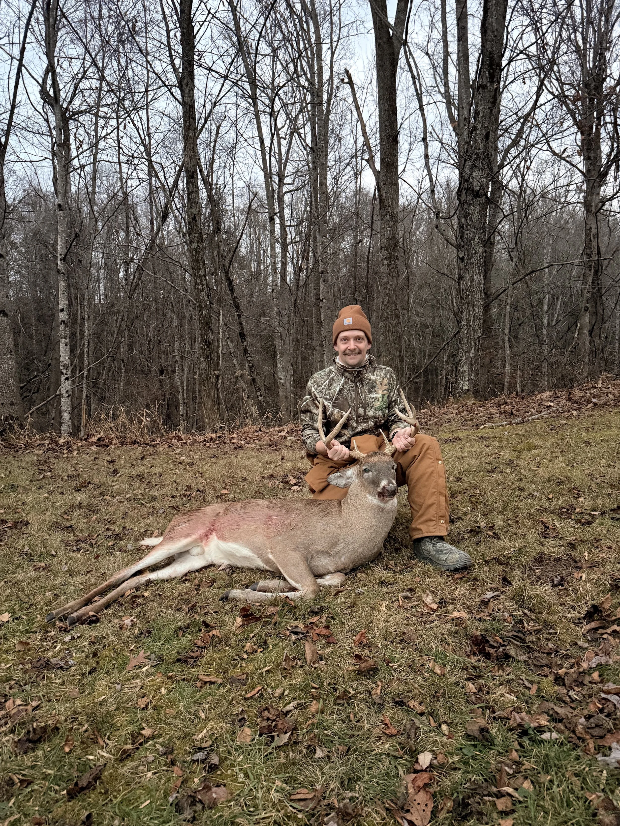
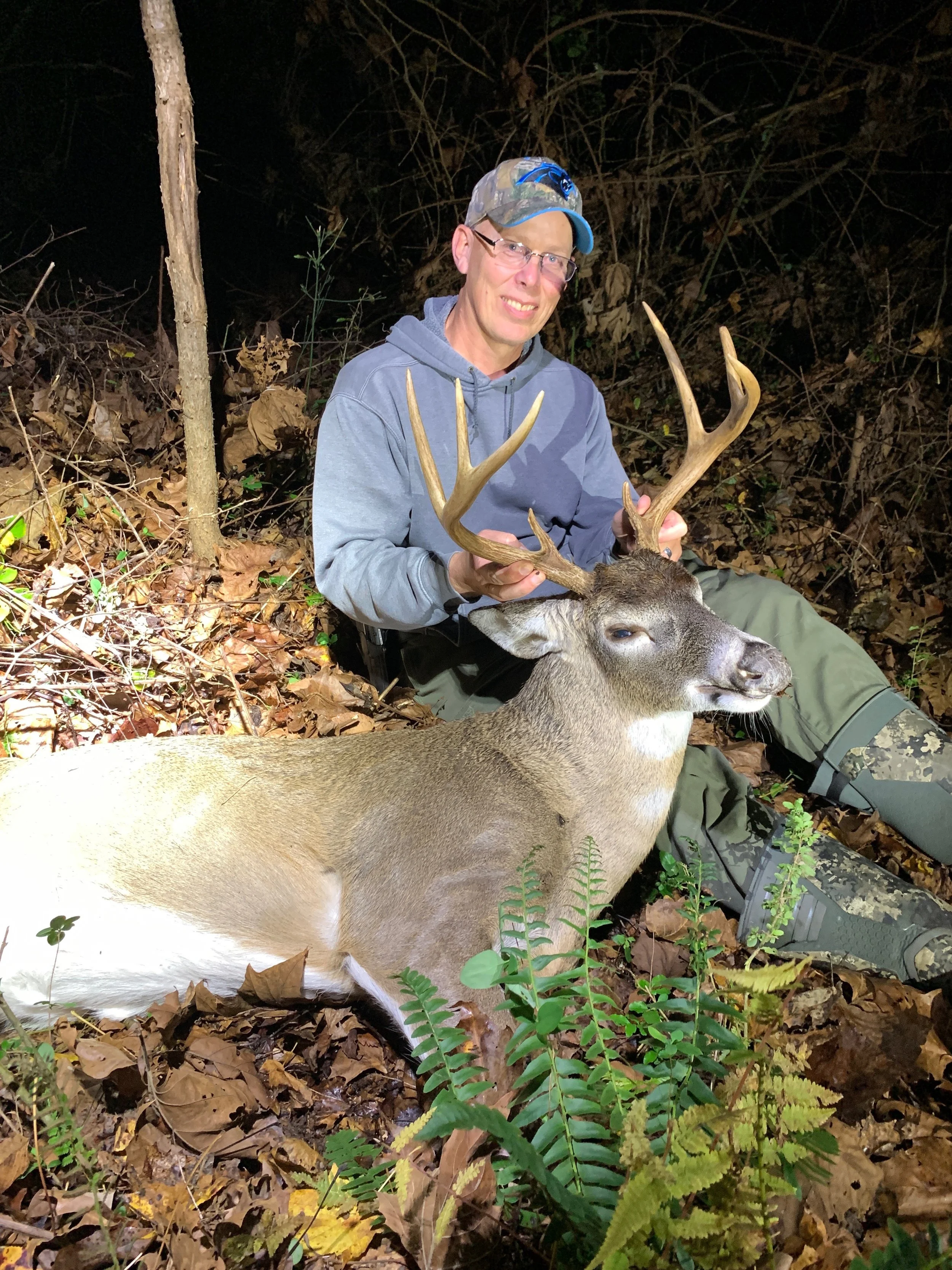
At J.A.C. Drone Deer Recovery, we combine over 50 years of hunting experience with the latest and greatest thermal drone technology. We operate with a DJI Matrice 30T drone which also gives us flight capability in the rain. Whether it’s a bad shot, a good shot, no blood, or a red carpet - we’ve all been there. With decades of experience in blood trailing deer all across North Carolina, we know how difficult it can be, and when that becomes a problem… let us be your solution.
Our drone is capable of finding your deer in as little as a few minutes, offering 200x zoom video capability and photography to give all the answers we need on your deer. Once we find your deer we can send you GPS coordinates that will put you within 5 ft of your deer. Leaving absolutely no scent trail or pressure to your best hunting spots.
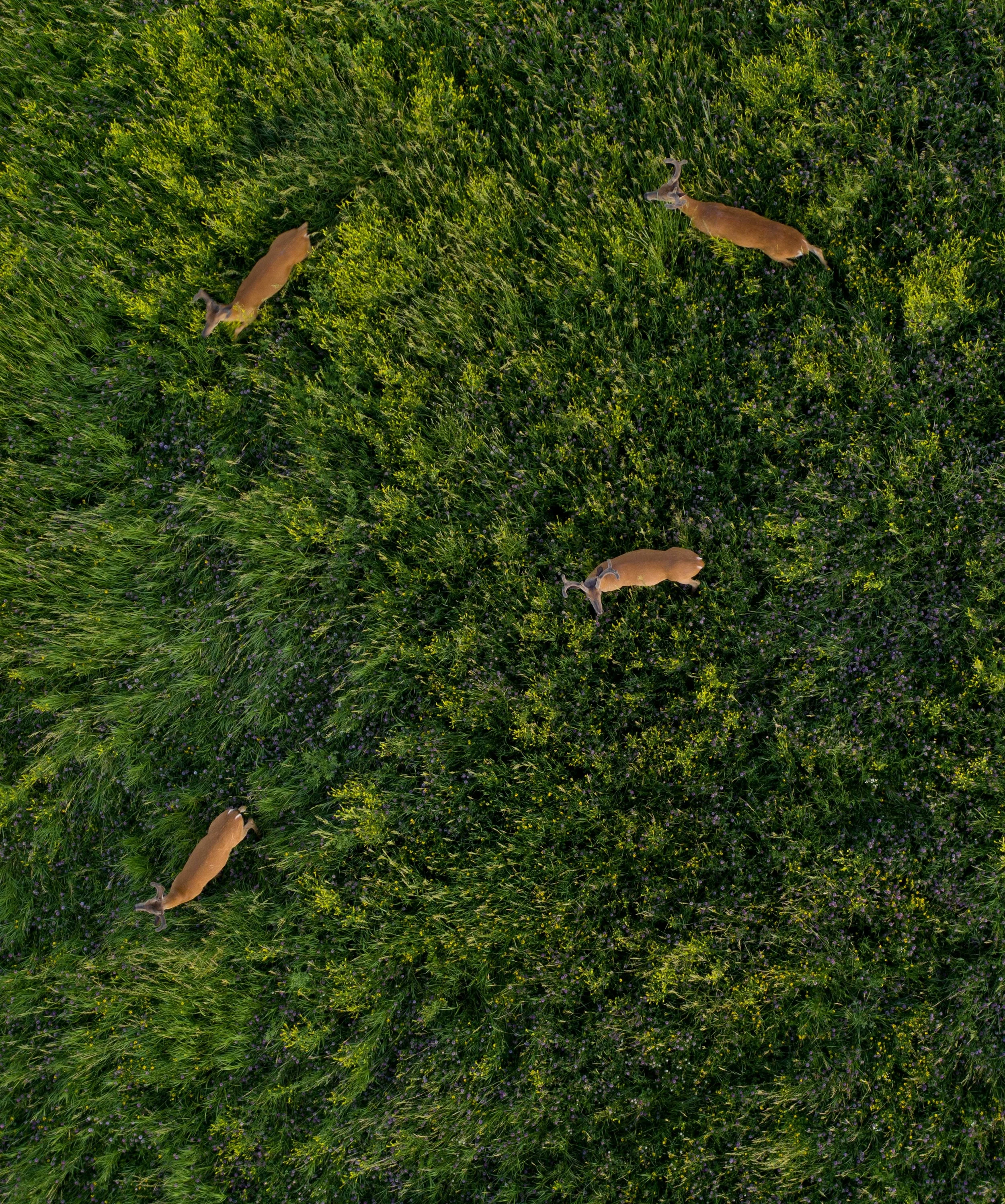
Aside from locating downed deer for hunters, we also offer off season whitetail herd analysis, aerial waterfowl scouting and mapping, precise aerial maps for landowners.
Our mission is simple: deliver clarity, provide answers, and offer solutions to all your land preparation needs.
OUR SERVICES
-
We use high-resolution thermal and visual drone imaging to quickly locate and assess injured or deceased deer across difficult terrain, reducing search time and disturbance. Our trained pilots provide GPS-tagged coordinates and clear imagery so recovery teams can reach animals safely and efficiently.
-
High-resolution drone surveys for wildlife monitoring provide fast, safe, and non-invasive population counts, habitat mapping, and behavior observation across hard-to-reach terrain. Our FAA-compliant pilots deliver precise aerial data and georeferenced imagery to support research, conservation planning, and land management decisions.
-
Need help locating and developing intel on potential prime duck hunting or waterfowl terrain? We can fly over and video areas loaded with waterfowl without any disturbance or pressure. Keep those prime spots unpressured.
-
We deploy high-resolution thermal and visual drones to quickly locate lost pets across difficult terrain and at night, reducing search time and stress. Our pilots coordinate with owners to cover targeted areas safely and relay real-time locations for fast, humane recovery.
-
We offer services to provide crystal clear aerial photography of your dream home, personal property, farm, or any sentimentally valued land on your property. We can also geo-map and fly over your land or farm providing high resolution video of every single acre. Offering you personal videos and photography instantly.
-
Need drone help with another type of request? We’re always looking for other ways to help our communities. Shoot us a message and we can discuss a solution.
REVIEWS
“An exceptional experience from start to finish! After tracking a huge buck all season, I finally got my shot on a Saturday morning. Despite what felt like a perfect shot, the deer took off into a thicket, and after five hours of grueling tracking, my buddy Mark and I completely lost the blood trail. I was completely devastated and frustrated, thinking this buck was gone for good.
My daughter Melissa and her husband Jordan recommended reaching out to Auston Keel, who had recently started a drone deer recovery service. To be honest, when Auston came out on Sunday evening—nearly two days after the shot—I was highly skeptical that anyone could find my deer at that point.
Auston completely blew me away with his professionalism and expertise. He arrived exactly when he said he would and listened carefully as I described where I thought the buck had run. Within just a few minutes of launching the drone, his equipment and knowledge proved that we were looking in the wrong area. After adjusting the search pattern based on where the initial shot took place, Auston located my buck in a matter of minutes!
To top it all off, Auston went above and beyond by walking a half-mile into the woods with me to ensure I could put my hands on the buck and get the closure I needed. If you are ever in a tough spot and need a reliable, precise, and dedicated recovery service, I cannot recommend Auston highly enough. He turned a heartbreaking situation into a massive success!”